
Snowshoe trail : Crossing from Alpette to Lac Besson
Description
This walk has been designed to take advantage of our beautiful environment.
Mountain conditions can change rapidly and may present significant hazards, such as avalanches or snow requiring specific equipment. We therefore advise you to check the trail conditions and any restrictions before setting out.
Welcome to 2000m. You are at the Alpette, a name referring to the alpine pastures, because in the past all these meadows were populated by herds during the summer. This is still the case on the side of Montfrais where you will also find a signposted path.
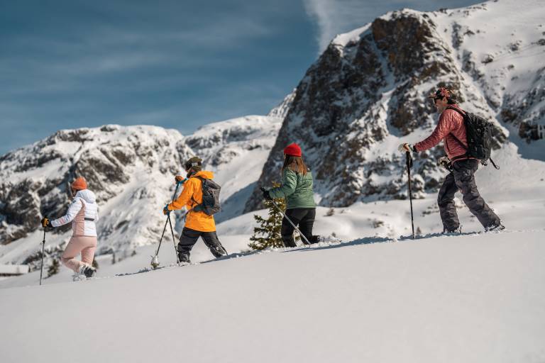
The footpath runs parallel to the cross-country ski trails, so please walk only on the purple/mauve marked route and not the red one, as you gradually leave the ski lifts behind to discover a white area. Below you on your right is the snow-covered and partly frozen Lac du Carrelet. On your left, at the very top of the mountain, perched in the Grandes Rousses massif, is the arrival of the cable car. Another hike awaits you at the top!
Although vegetation is rare at these altitudes, it does exist. Coniferous trees such as firs or spruces have a hard time growing because of the snow, the cold and the wind, but some fighters manage to do so. Look for them! They will appear here and there between the layers of snow. Life is also present at these altitudes. Indeed, it is not uncommon to see traces of chamois, hares, or even ptarmigans (the snow partridges). The high altitude lakes are also home to fish fauna. Finally, there is a sleeping fauna, the one you all know as the mascot of the mountains... the marmot. It is very present at these altitudes and in these expanses but hibernating under your feet at this very moment!
Be careful in case of snowfall to check (with the cashier) if the path is practicable and marked out, in order to know if you can walk on it or if it is preferable to walk on snowshoes!
Marking
The snowshoer should choose a trip according to his or her ability, physical condition, outdoor skills and the topography of the terrain. The level of difficulty of a hiking trail is classified into three levels: Easy, Intermediate and Difficult. Snowshoers should take this classification into account.